Von Donop Inlet

(Pictures yet to come when we have better internets.  Right now just to get a signal, we haul the cell phone halfway up the mast.  Seems to work, but still dreadfully slooow.)

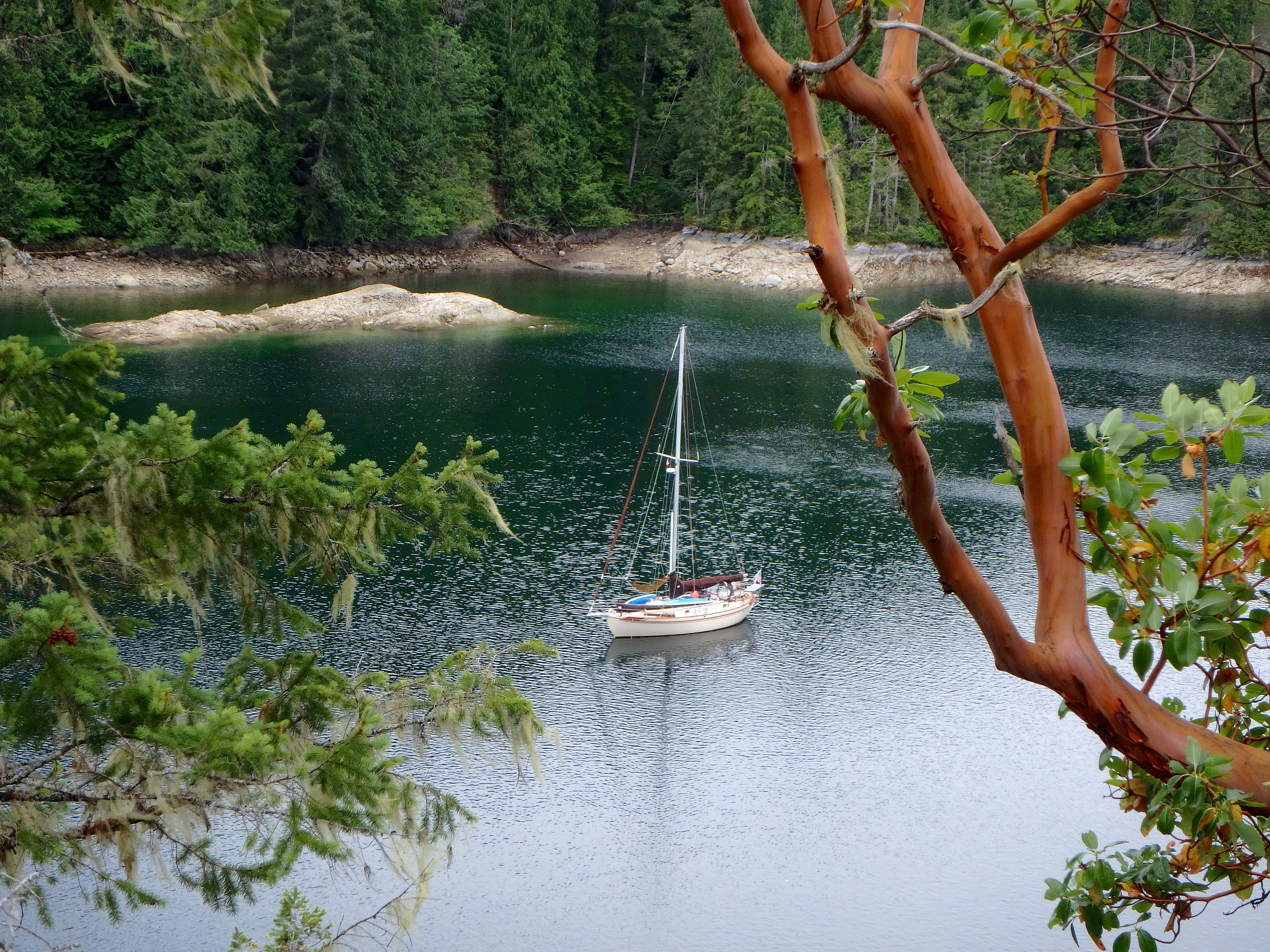
Yup, that’s where we are.  It’s on Cortes Island – two islands east of Campbell River, Vancouver Island (if that helps anyone find us).

So, we left you with us anchoring in the rain, then discovering we had a dead starter battery and alternator.  We’re nicely tucked in to a good, safe spot, and the house bank gives us plenty of power for the lights, fridge, etc so no worries for the short run.  We’ve been letting the solar panels charge the starter battery for the last day and a half and are hoping that it’s getting enough “juice” to try a start tomorrow.

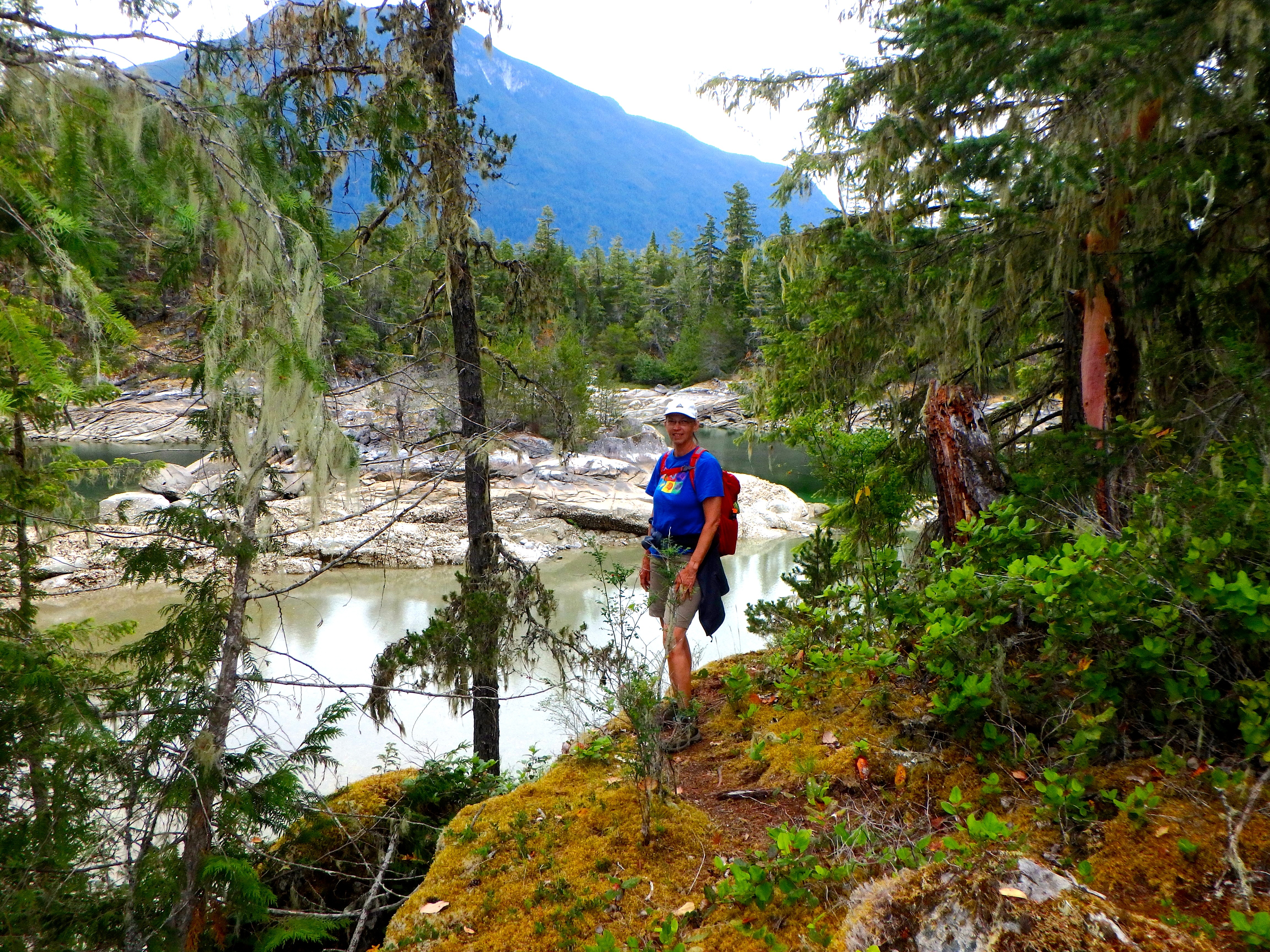
In the mean time, yesterday we hiked (7++miles round trip) through the forest, to Squirrel Cove.  It’s a tiny town on Cortes Island.  One store, a restaurant and a few houses.  It was a desperate trek – we needed wine and beer!!  BUT, the proprietress of the store was also very helpful when I asked her how we might obtain a new alternator.  “You call Campbell River and buy one and my husband is taking the ferry over tomorrow, he’ll pick it up for you and bring it back.  Here’s a phone book…”  Wow!

So when we got back to Charisma (a two hour hike) we called the Campbell River marine diesel shop at around 5:45PM.  They were officially closed but we got what sounded like the owner.  He took our notes and said he would give them to the “parts guy” in the morning.  At about 9:30AM, next day, we got a call (thank goodness for our T-Mobile cell phone) from the parts guy and to make a longer story shorter, we ended up buying (hopefully) a new alternator.  I say hopefully because we won’t know until tomorrow when we hike back into Squirrel Cove and pick it up whether it’s an exact fit and we can make it work.  Cross fingers!

In the mean time we went for a nice five mile hike today.  The sun finally came out and we might have some nice weather again soon.  The last three or four days have been rainy and in fact, there has been a “water-spout” (marine tornado) warning issued for the whole area.  You know it’s bad weather when the seaplanes (i.e. bush pilots) are not flying.  There was some thunder yesterday and some nasty clouds but here’s hoping for SUN!

Anyway, that’s our update.  Hopefully a) the alternator is the right one and b) the starter battery has charged enough via the solar panels to start.

In the mean time the Dana 24, “Heron” that we met back in Melanie Bay has pulled in here this evening.  We rowed over to say, “Hi” and invite them for Charisma’s tomorrow, so at least there’s that!

Stay tuned.

Rainy Day Move To Von Donlop Inlet

Yup, a rainy day. Actually we avoided the rain all afternoon until we just made the entrance to the inlet, then it dumped. We anchored in the rain and it’s been raining since (about the last four hours). Possible thunderstorms tonight and tomorrow, but who cares! We’re not on the ocean!!

Our main problem right now is the alternator seems to have quit. The starter battery is low, but fortunately the house bank is good for now giving us lights and refrigeration. What we need is some sun tomorrow so the solar panels will charge the starter battery. For our “boat geek” friends – I have the starter battery on a “Echo Charger” that charges it anytime the house bank is getting more than 13 volts. So that’s what we need, enough sunshine to produce the needed 13V. Oh, well, we’re nice and tucked in and have time to figure out how to fix it. We just need to get enough charge to start the engine at which point I might be able to “excite” the alternator and get it charging again (did that with the old one when it went wonky a few years back). If not, we’ll have to try and get to Campbell River on Vancouver Island, where we can likely get a new alternator. In any case, there are a couple other boats here and there’s a trail from near where we’re anchored down to Squirrel Cove where we can hike and then get a ride down to the Ferry to Vancouver Island, so fortunately we have a lot of options. We’re just a little shy of good internet, so can’t yet post pictures of the last few days – which were gorgeous!

So…a little interruption on our adventure. Stay tuned.

Salmon Day!

Oh yeah! Ann and I have been yearning for some fresh fish and today didn’t disappoint us.

We left Roscoe Bay about an hour before high tide. It wasn’t as high a tide as when we came in so we had a couple moments of anxiety when the depth sounder showed 6.8 feet. That would be from the waterline, so about 8 inches or so under the keel. Whew!

Once out into Waddington Channel we set up our fishing line hoping for salmon. We were rewarded! Caught a small salmon, but big enough for dinner for two. Then we proceeded up Waddington Channel. As many of the inlets around here, it’s almost fjord-like. Sheer, vertical cliffs go up 1000 feet on either side. While it was stunning, the pictures don’t do it justice because it was a cloudy, flat day. Oh well. At the end of the channel – about six miles from Roscoe Bay is a little island group called Walsh Cove. We tucked in there for the night. The chart and guidebook showed it as a 30 foot deep cove with mud bottom. Should have been easy anchoring. BUT, it wasn’t! Actually it was more like 70 feet and solid rock. Anyway, after looking around at a couple spots, we settled for a spot where we dropped in 56 feet and backed to the cliff, where I went in on the dinghy and tied a stern line to a tree. After we pulled Charisma up to the cliff and tensioned the anchor chain, we are only about half a boat length from the rocks. Oh well. The water’s clear so we can see the bottom drops out and even though we can almost step off to shore, we still have about 30 feet under the stern. Crazy to be so close!

Once we settled in, I remembered there are supposed to be some First Nation petroglyphs around here, so off in the dinghy to explore. We got lucky and found them! Here they are – you’ll have to decide what they depict (when we have internet to send pictures)

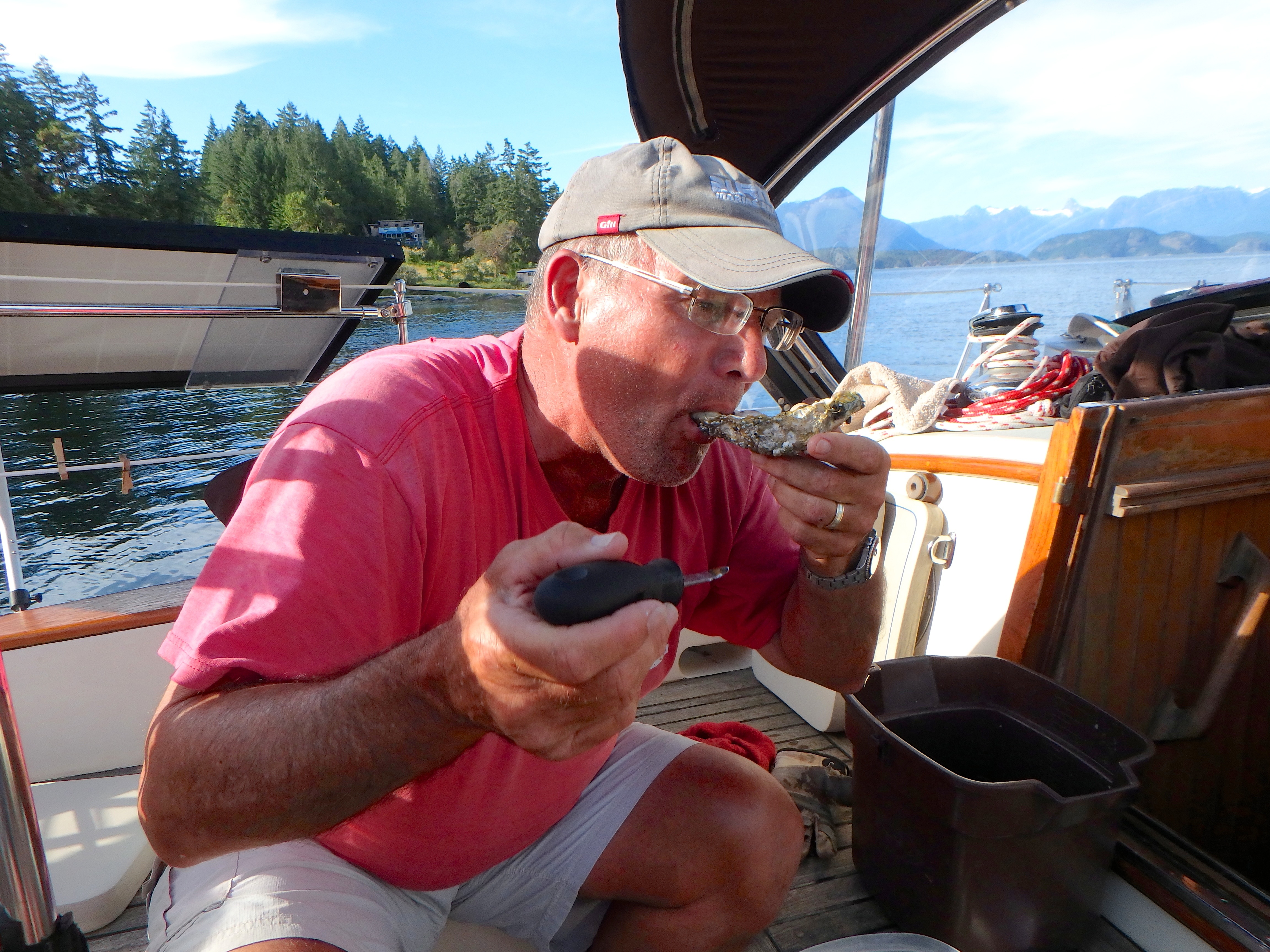
On going back to Charisma, the tide was low enough for some oyster pickin’. On went the gloves (now that I know how damn sharp they are) and we got a dozen for cocktail hour.

Just picked oysters and fresh salmon. Our communion with this spiritual area, surrounded by petroglyphs draw by ancient people who no doubt also respected the spirit that makes this such an amazing place.

Roscoe Bay – Second Day

(from shortwave radio – will add pics when we have internet)

So, it rained all the first day we were here and all night. We decided to stay an extra day so we could climb the mountain – which is what we did today. 8 mile round trip and 2200 vertical feet. Was very worth it though. Amazing views from the top. To the south we could see all the way to Texada Island and Naniemo, to the west – Vancouver Island and Cortes Island. North and east were mostly blocked by trees, but we could see some bits of Waddington Channel and northern Vancouver Island. Definitely a fun hike/climb. Very steep at points. At the top there was a cairn with a couple jars stuffed with scrapes of paper with people’s names and notes who made it to the top. The oldest we saw dated back to 2011, but that was just from the tops of the jars. Anyway, we added our names and took a few moments for a nice snack, then back down. 4 hours round trip and the bonus – the cherry trees at the bottom. We collected a Tupperware full of beautiful, ripe, wild cherries. YUM!

Roscoe Bay

Sent via SSB. We have no internet – will post pics later

We went over here yesterday. This is an interesting place for two reasons. To get to the inner bay you have to transit over a mudflat that dries at zero tide. That means at high tide, we need at least 6.5 feet for Charisma to get into the bay. Luckily for us, the high tide here is around 10 or 12 feet, so “theoretically” we can get into the bay with a few feet to spare. Yeah, we’ve heard that before.

We left Prideaux Harbor (Melanie Cove) about an hour before high tide. We were four miles away, so at six knots, we should be able to get here before high tide. We did indeed reach the outer cove before high tide. We very sloooowly went over the bar with a one knot current sucking us inward. Very carefully we watched the depth sounder go from 50 plus feet to 20, 15, 10 then 9 feet – which means less than three feet under our keel – not a lot of room for error, but we did it. Once past the shallow narrows, we saw 20, then 30 and we were in. Whew! Such a lovely cove inside. We’re very glad to be here. Once anchored and settled, we lauched Ann’s paddleboard and she set off to explore the cove.

Prideaux Haven

Actually, Melanie Cove, which is further inside Prideaux Haven.  We’ve been here two days now.  Came in yesterday and went for a nice hike out to the entrance of the cove.  I think they call this a “haven” because it is so tucked in and lovely.  There are some serious twists and turns among some rocky inlets to get here, but once inside, it’s lovely!

See what I mean! Here we are tucked into Melanie Cove.

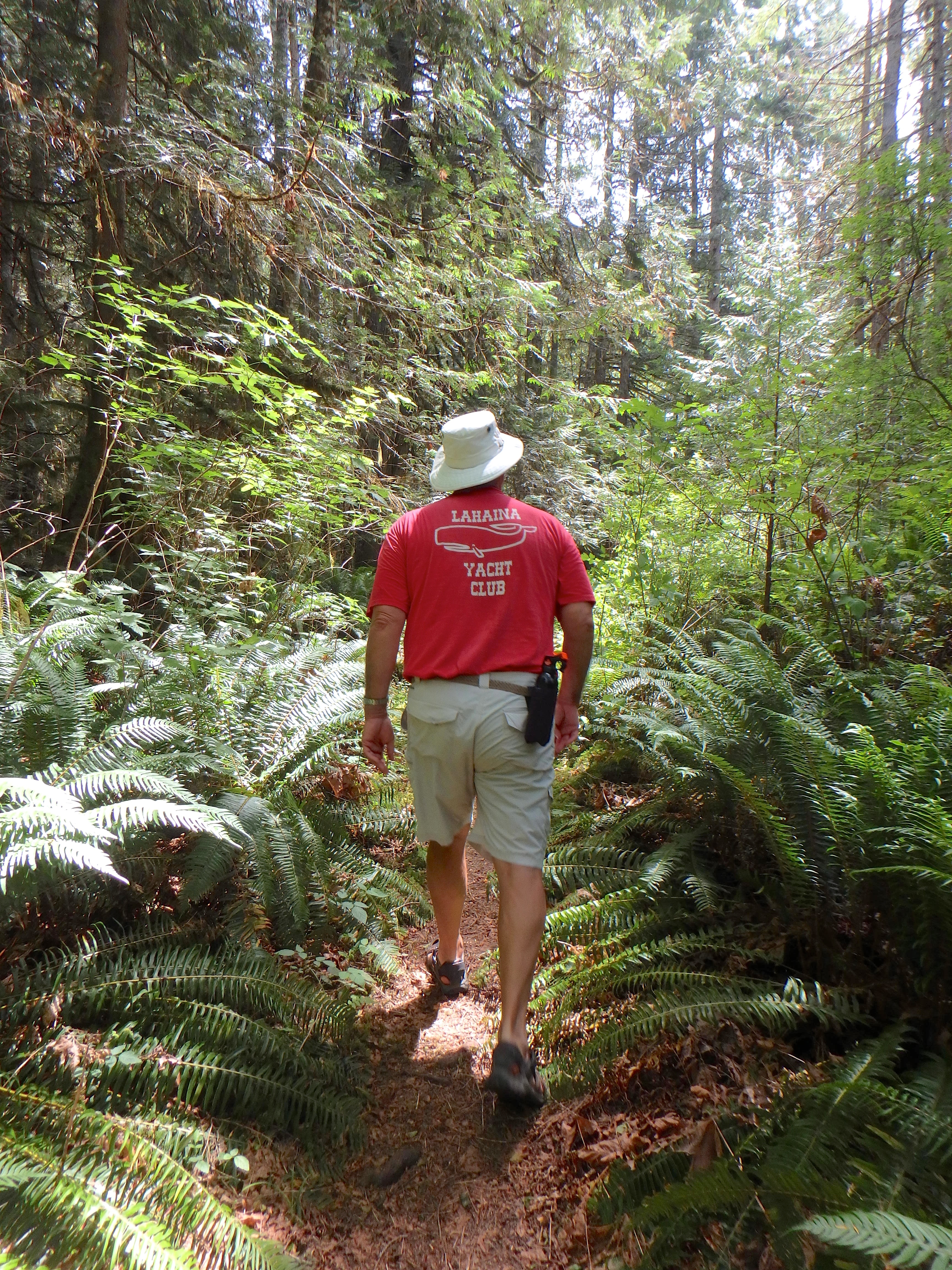
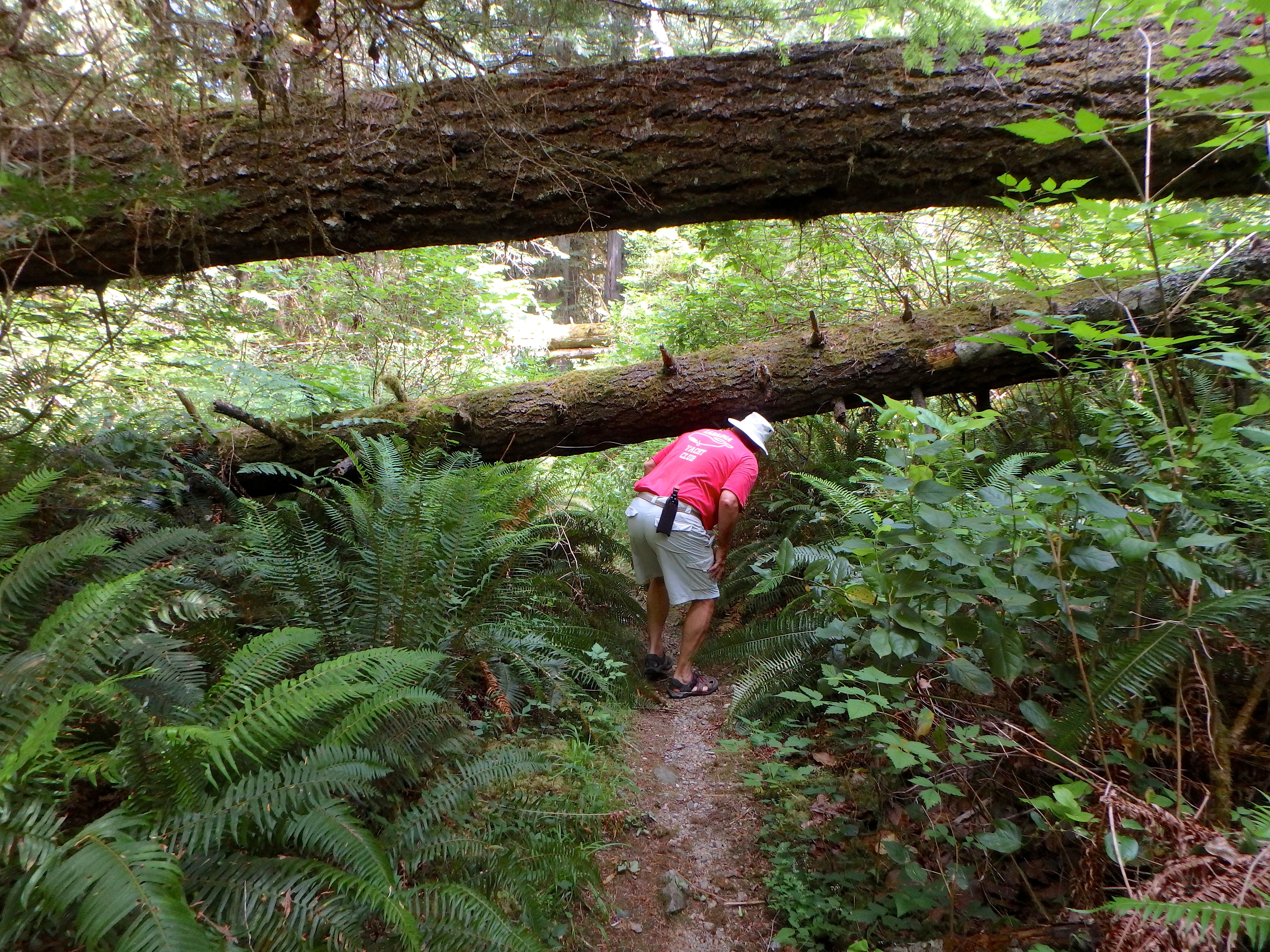
Once nicely “tucked in” for the day, we went ashore to a hike.  Lovely two hour “out and back”.  The trail was not maintained, so a bit “tough”, but lovely nonetheless.

HIke to Melanie Point.

So, then last night it rained into this morning and we were thinking, “OK, it’s going to be a book day”.  But – it cleared enough for us to think we could have a bit of a hike and we went ashore again.  This time, we did the hike over to Laura Cove.  In her book, “Curve of Time”, set in 1927, Muriel Blanchet described anchoring in Melanie Cove and visiting “Phil, the French Trapper” over in Laura Cove.  That’s the hike we did today.  The story has it that his cabin was in the cove by the wild cherry tree but that the cabin has disintegrated to the point of non-existence.  Guess what?  We found the cherry tree and I hiked up to a level spot just above high tide that I’m pretty sure was the site of the cabin.  Fun!

Kinda fun tracking down locations from a 90 year-old story...

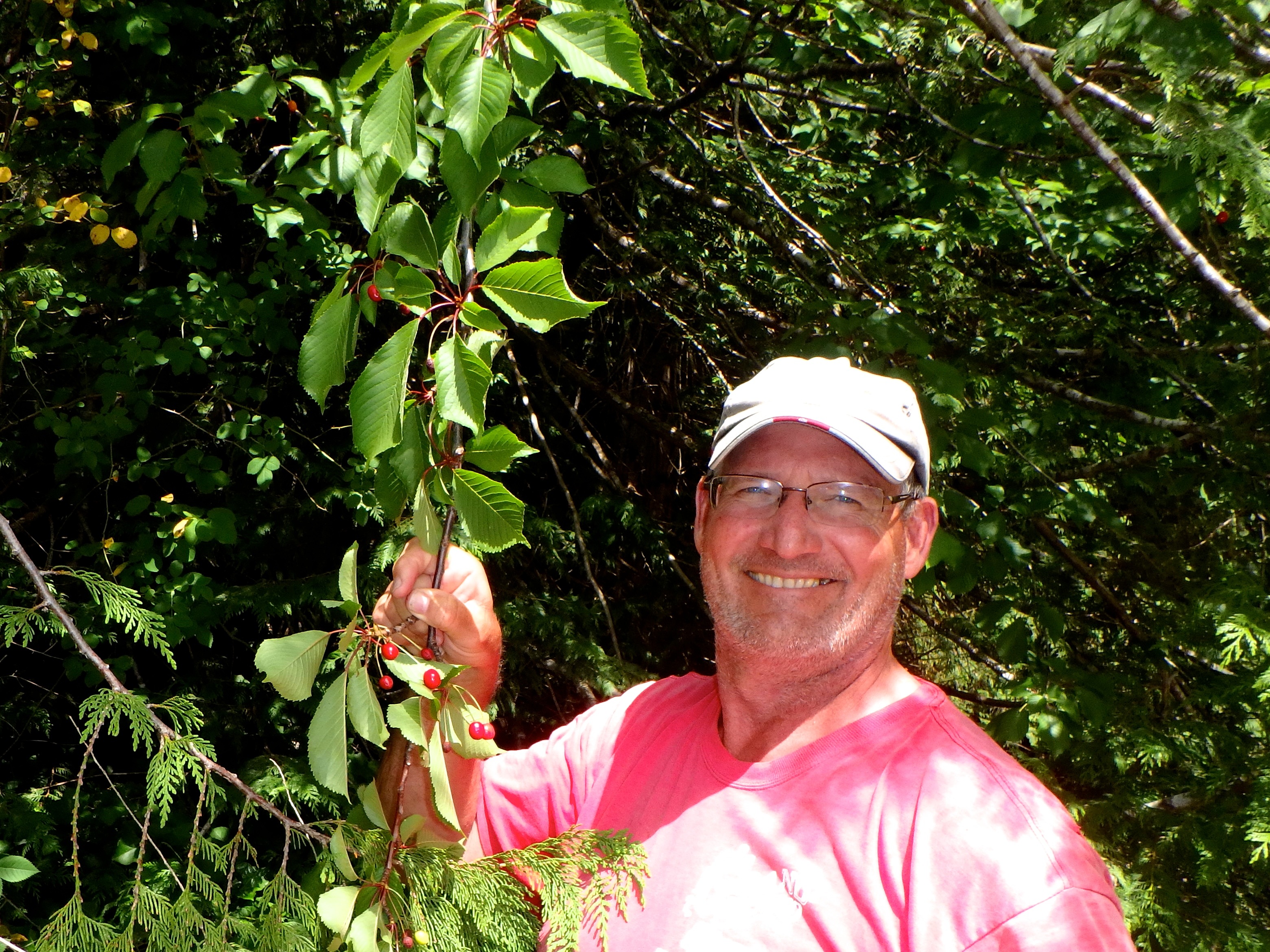
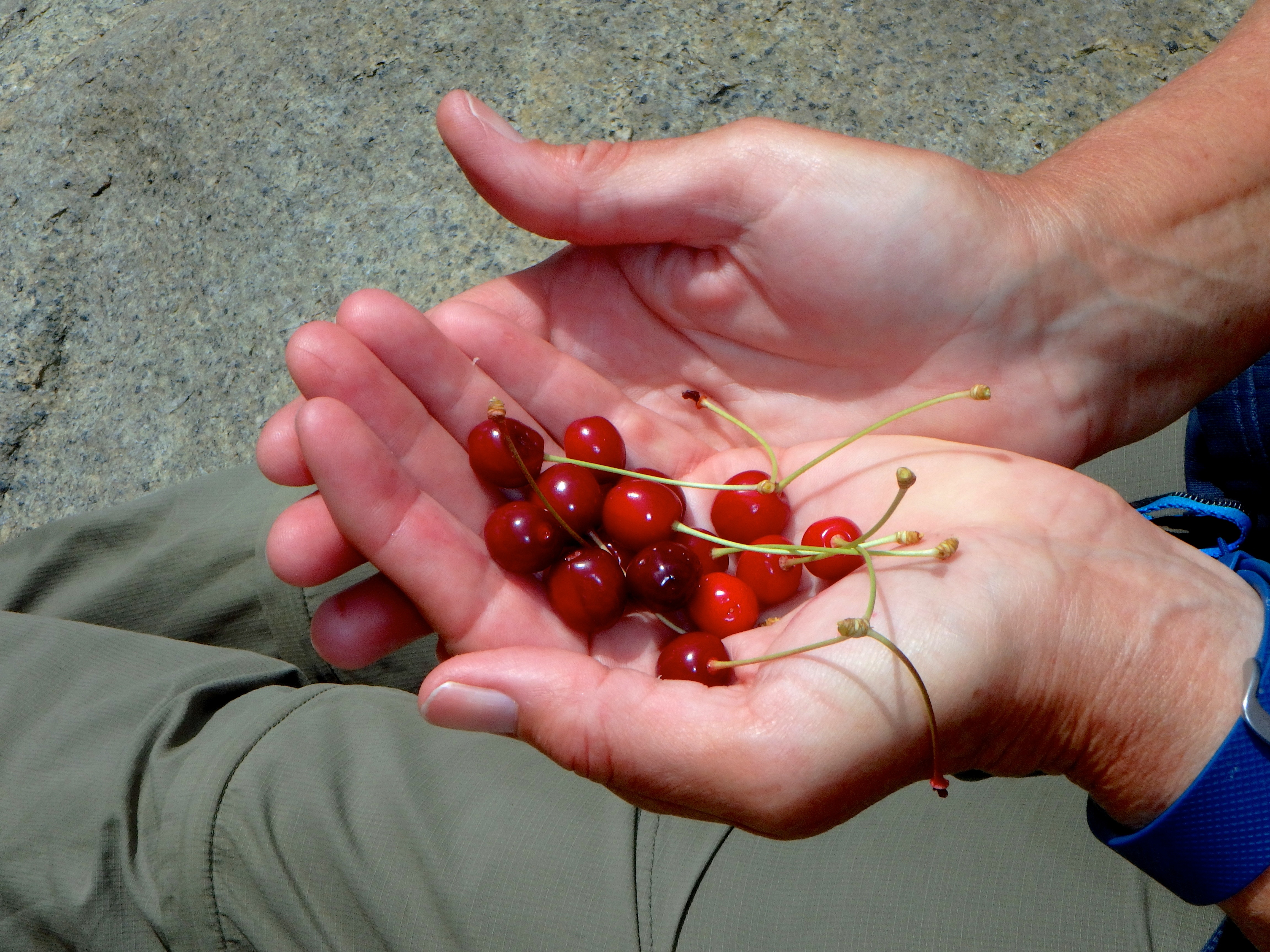
...and fun to taste the wild cherries. They were amazing!

So, back on Charisma we met a lovely couple who came in on a Dana 24 and did a very nice job of dropping anchor and stern tieing to the cliff.  They are on S/Y Heron, Phoebe and Mike.  For Karen on Sockdologer – they are Canadian and went to Port Townsend last September to hear you speak at the wooden boat festival.  They said your talk was awesome.  Nice folks!

OK, that’s our update!  Tomorrow we leave for Roscoe Bay.  It’s actually two bays.  An outside and inside.  The trick is the narrows between the two actually dries at low tide.  We have to wait a bit before high tide to get in.  With a 12 foot tide forecast for tomorrow that means we “should” in theory have 6 feet under the keel at 9:47AM – we’ll start in a bit earlier on the rising tide in case of a problem.  We’re tried to “squeak in before like this, and hope that the results this time are better than last (See “Escape From Aitutaki”, August 10, 2012).

As always, we’ll post the result if we have internets.


Vicious Oysters and Other Stuff

The oysters are delicious and they don’t move too fast, so we’ve been able to collect them for “cocktail hour” the last two nights, BUT they are vicious!  Both Ann and I now have cuts on our hands and fingers from collecting them.  We’re now using gloves whenever we’re near them.

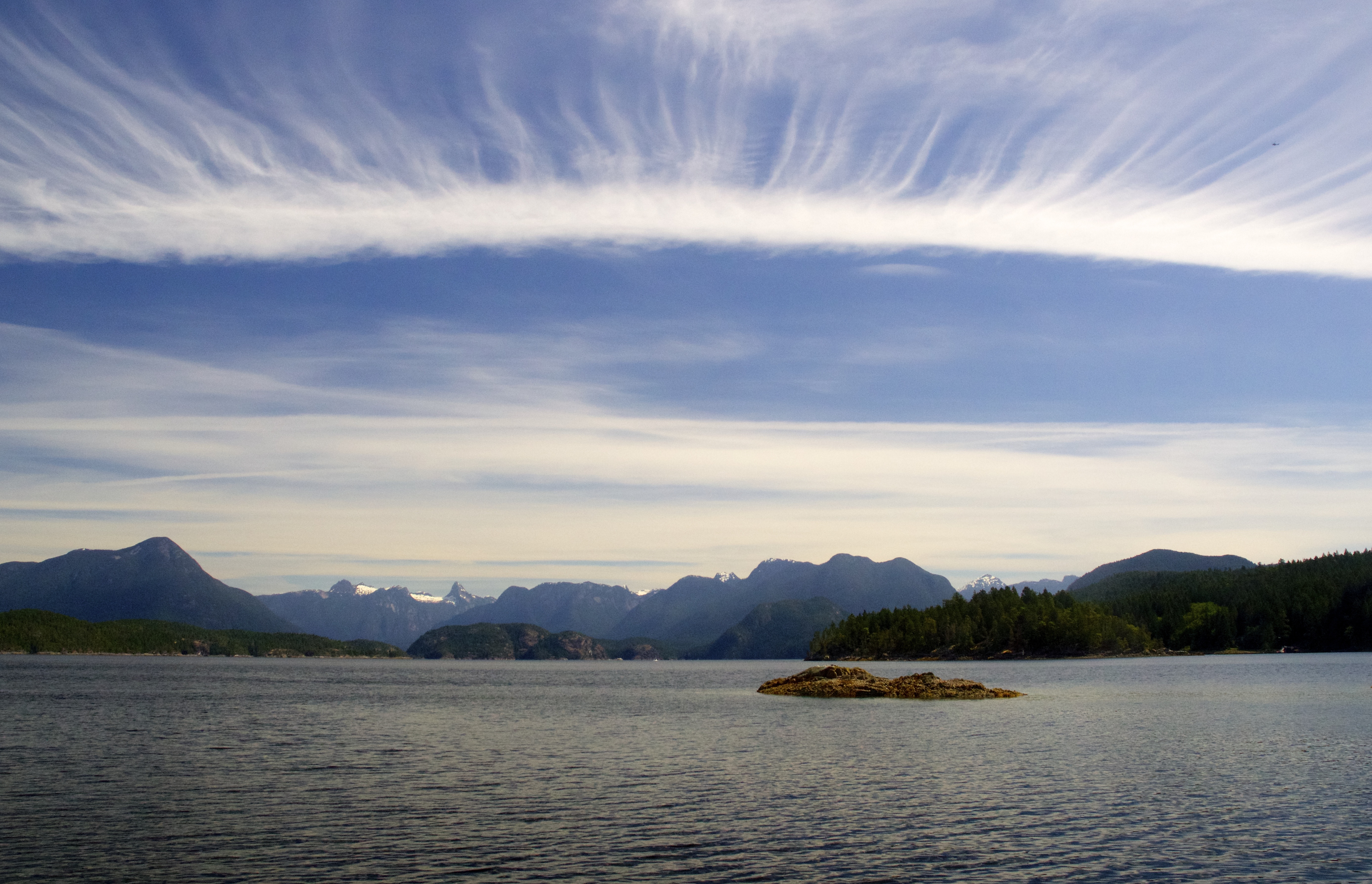
View from Galley Bay this morning.


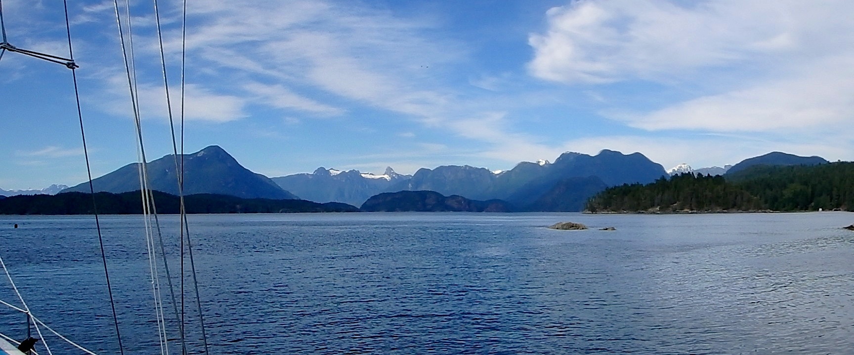
So, we moved again today.  All of…get ready…five miles!  We’re now in Tenedos Bay.  It’s just so beautiful here we want to savor all the little nooks.  Tomorrow we’re not going too far either.  Prideaux Harbor where there are lots of little inlets and some more “storied areas” captured by M. Wylie Blanchet in her 1927 adventure.  We’re going to try and anchor in Melanie Cove and hike to several spots mentioned in the book including visiting a wild cherry tree that marks one spot.  I doubt the cherries are ripe, but here’s hoping!

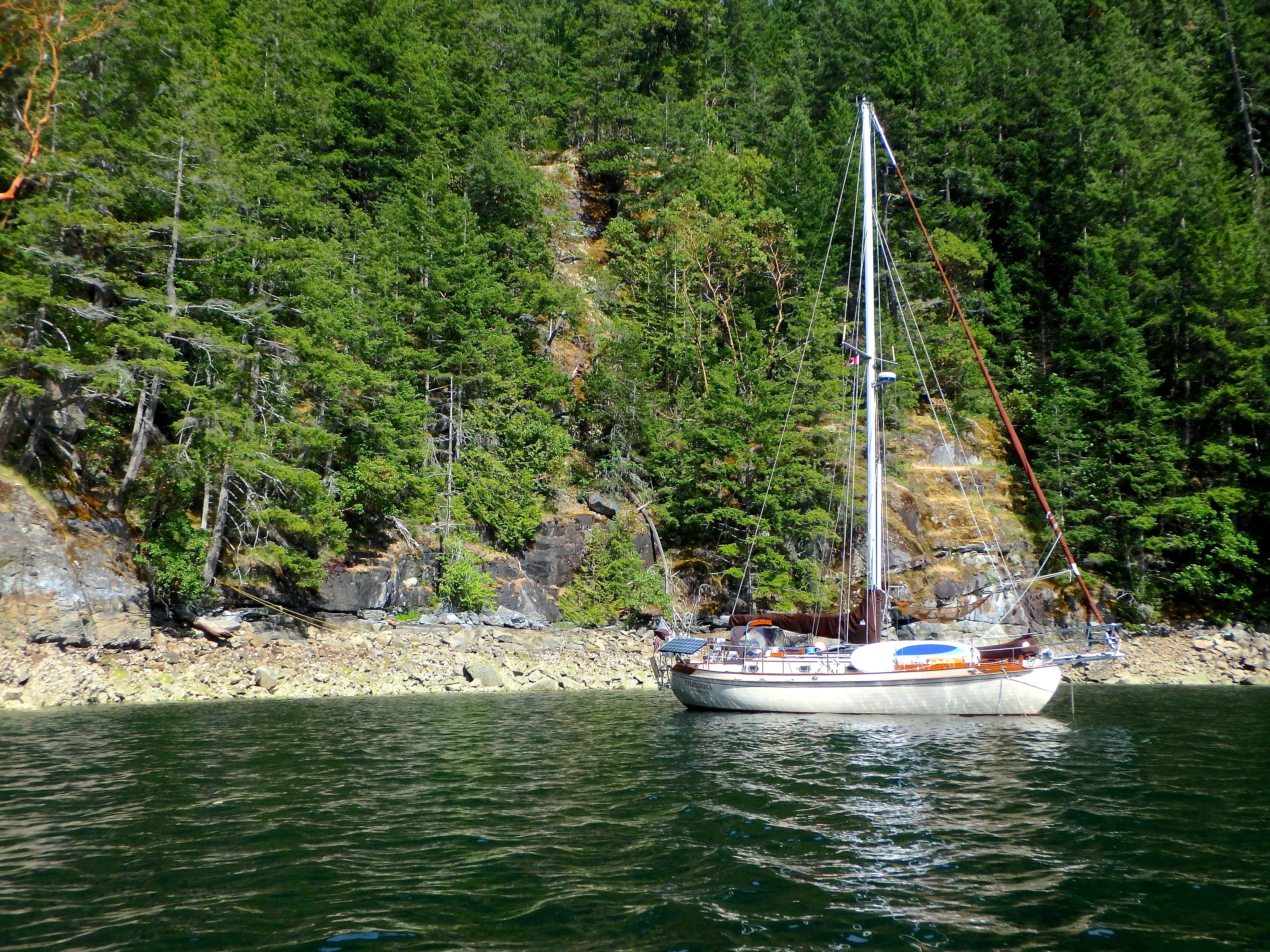
In the mean time, we are currently in Tenedos Bay.  We tucked into a tiny cove, barely big enough to turn around in.  We dropped in 35 feet and backed down until we were little more than 30 feet from the rock wall.  I took the dinghy ashore and tied a stern line to a tree and now we’re “balanced” between our anchor and the tree.  It’s different for us and a little un-nerving.

Stern line to the trees.

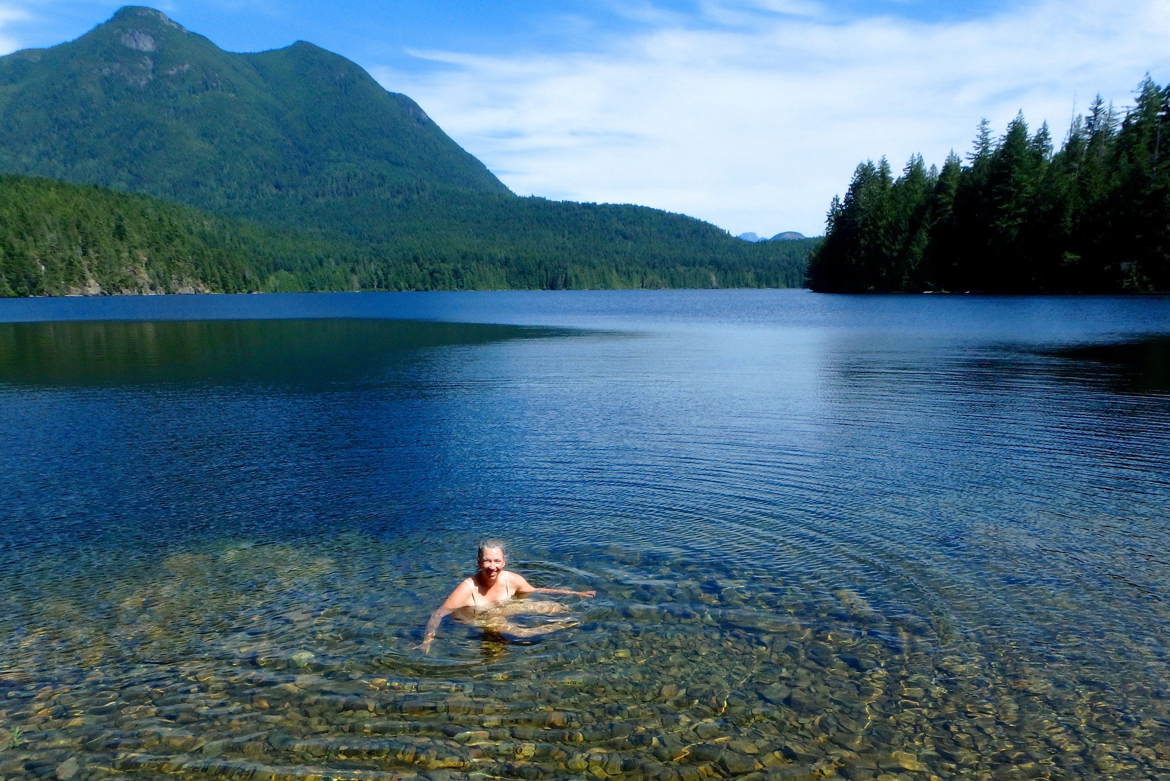
Once we were settled in our new spot we had time for a hike, so we dinghied over to a spot where there’s a trail up to a gorgeous lake and Ann was inspired to have a swim!

Clear, crisp - and not too cold - water. How could she resist?

So, we seem to be on the edge of the internets.  Starting tomorrow, we’ll possibly be out of touch for a few days.  Stay tuned to find out!

Moving to Galley Bay.

We’re heading for Prideaux Harbor in a couple days, but in the mean time we’re meandering – just enjoying the scenery.  Since we’re in Desolation, the scenery is magnificent?

So today, Galley Bay, tomorrow, Tenedos Bay and then by Thursday we hope to be in Melanie Bay, Prideaux Harbor.  It’s a spot memorialized in the famous (at least up here) book, “Curve of Time” by M. Wylie Blanchet.  Set in the 1920’s, a widow and her three children cruise in a small powerboat in this same area.  Amazing story how they pioneered some of the tracks we’re taking – but without GPS, and so many other modern conveniences.

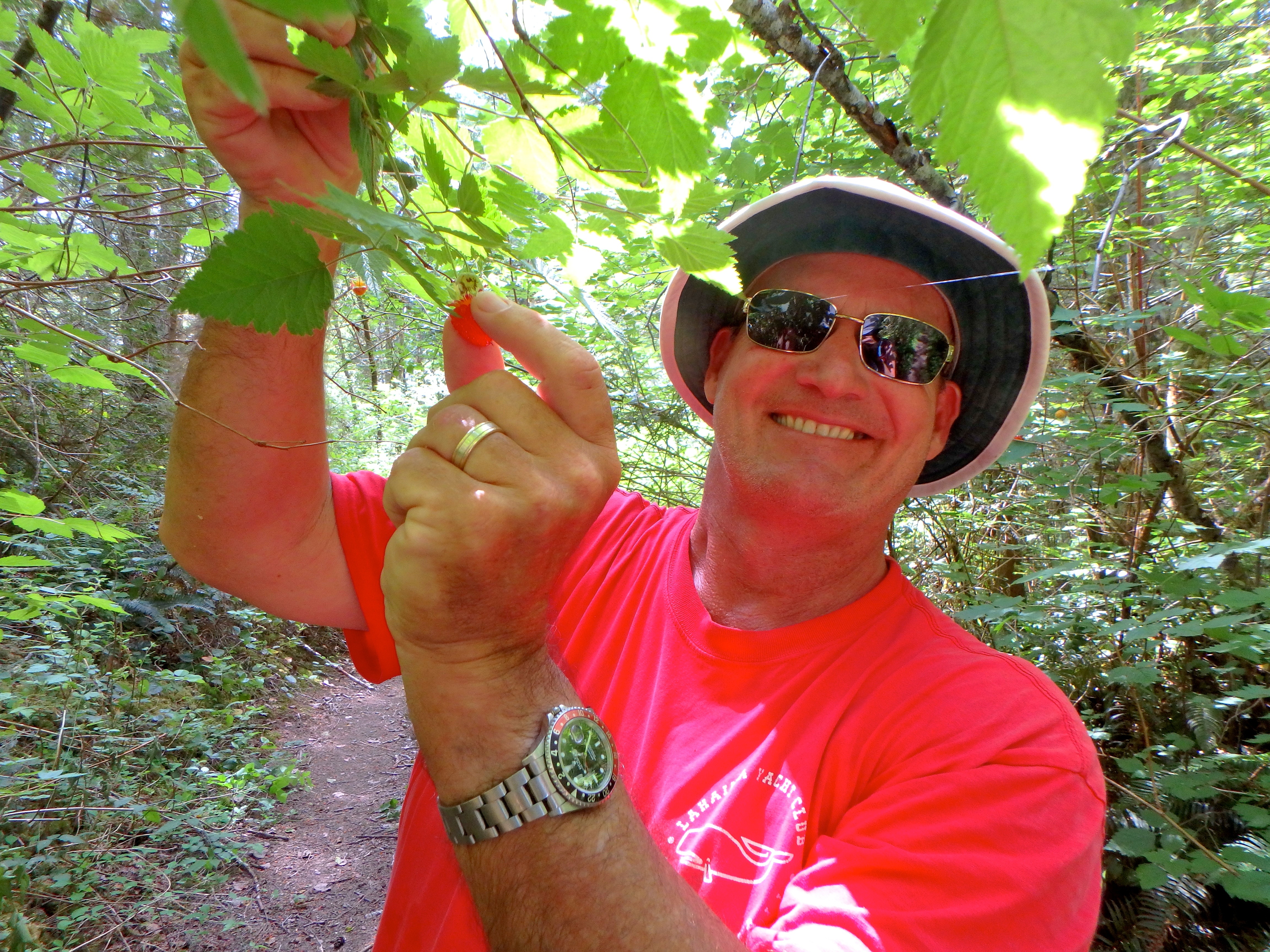
Once thing we have in common is the ability to live off the land – at least to some extent.  When we’re hiking, we have been enjoying the wild berries.  Right now that means salmonberries.

Love those fresh berries.

A little later in the year huckleberries, wild blueberries and blackberries will come in season as well as apples and other fruit.  We’re also setting crab traps, prawn traps and fishing for salmon and other fin fish.  The challenge in todays’ world is the commercial value of these things.  We haven’t caught any of the above and the story so far from locals is the commercial fisherman are stripping the place bare.  We need to get further north before the commercial impact is less felt.  Cross fingers on that.

In the mean time we did score some fresh Pacific Oysters today.  A half dozen raw, fresh oysters for Charisma time (yes, they are safe – at least for now.  The government puts out regular reports of closures due to red tide, etc).  Maybe tomorrow we’ll get some more and have a fried oyster dinner.

Yum!

And, much of this area hasn’t changed much since the ’20’s.  It’s pretty remote.  So the hiking is awesome, although like Wiley Blanchet, more commonly known as “Capi” we have to beware of bears.  In California, black bears are pests and when I’ve encountered them in the high country while backpacking I throw rocks at them to keep them away.  I’ve been told in no uncertain terms, you DO NOT do that with the bears up here.  So…we make noise and have now added bear spray to our arsenal.  I’m not sure what good it will do since the instructions note that you deploy it at 12 feet!  Measure out 12 feet and think about using a pepper spray at a charging 1000 lb bear at 12 feet…well, you get the idea.  But it’s something, eh?

Our new addition to hiking - Bear Spray!

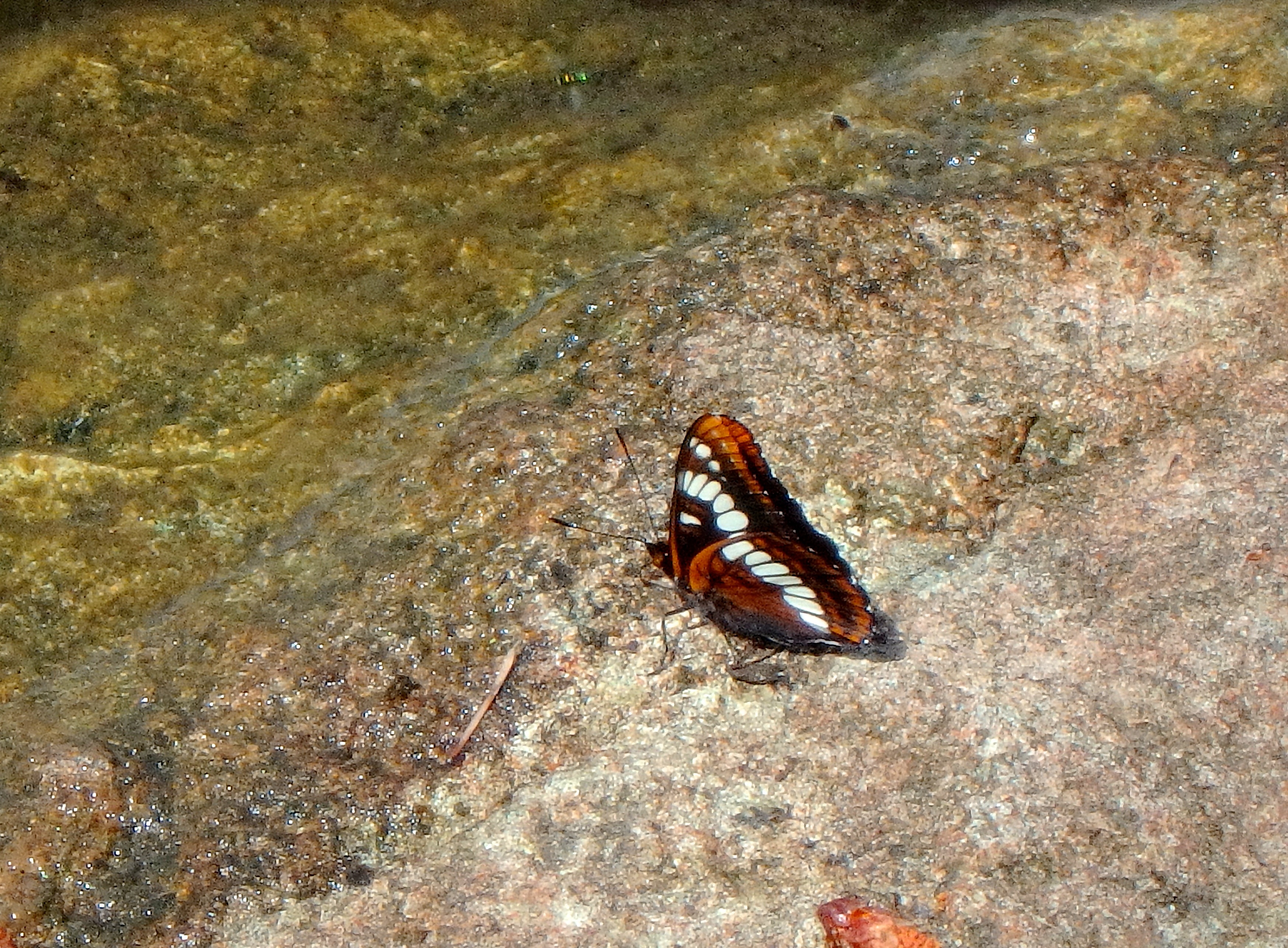
The butterflies practically dive bomb us when we wear red.

Lovely trails...

Galley Cove, where we're spending the night.


We’re thinking about catching….

One of the things we heard we would love in the Pacific Northwest was the fishing. Prawning, crabbing, oysters, salmon, lingcod….people have led us to believe it was like picking apples from a tree. I use this analogy because we have really enjoyed walking along dense forest paths and finding salmon berries to enjoy along the way…they are everywhere…kind of like the fish….right?

I should correct the title of this blog…we, especially Bob, has thought about fishing a lot. Who doesn’t love catching their own food. We caught lots of Mahi on the Pacific; we know how great it feels. We did some catching the other day coming into Desolation Sound.

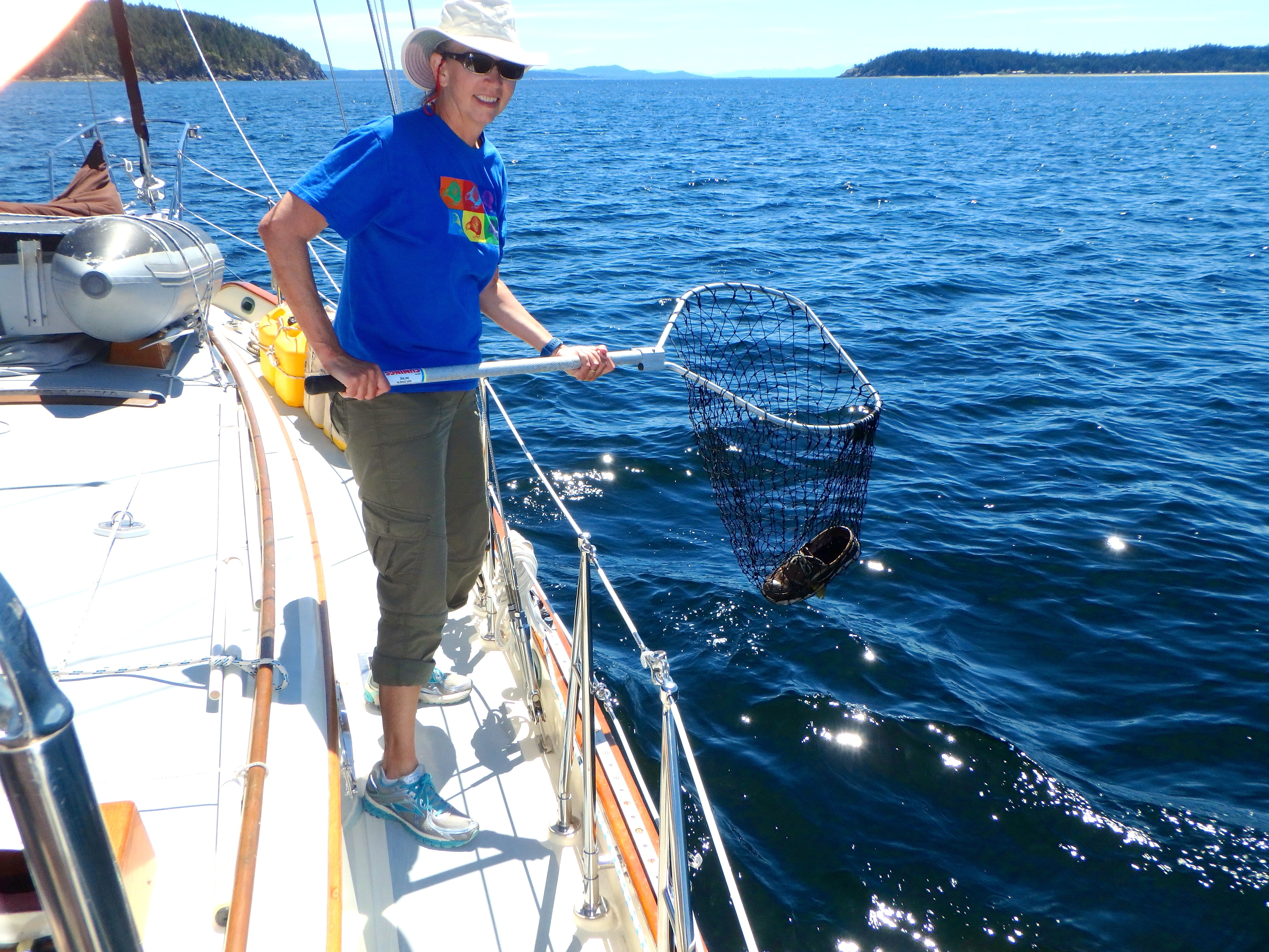
The spinning reel twanged and the line started zipping out of the reel. Bob quickly slowed Charisma and grabbed the rod from its perch. In the process of balancing himself for a good fight against a salmon, Bob’s deck shoe fell off. And into the water. Oops. No time to be concerned as we focused on our catch. Unfortunately whatever hit the line had escaped by the time Bob got it reeled in.

When fishing, a shoe is better than nothing. Especially when it's your own. Thanks Ann!

So now to our catching….yep…we went after the shoe…and with excellent driving by the captain and swift movement by the first mate using the previously unused fishing net we successfully scooped it out of the 350 ft deep water. Good thing it floated!

Bob talks to lots of people about the best places to fish, the best lures, techniques, etc. Still we are 0 for 2 on prawning and 0 for 2 on crabbing. Bob did catch some kind of rock fish in Maude Bay that was just a bit too small so he released it. But we think our catching days are just around the corner…and here is why.

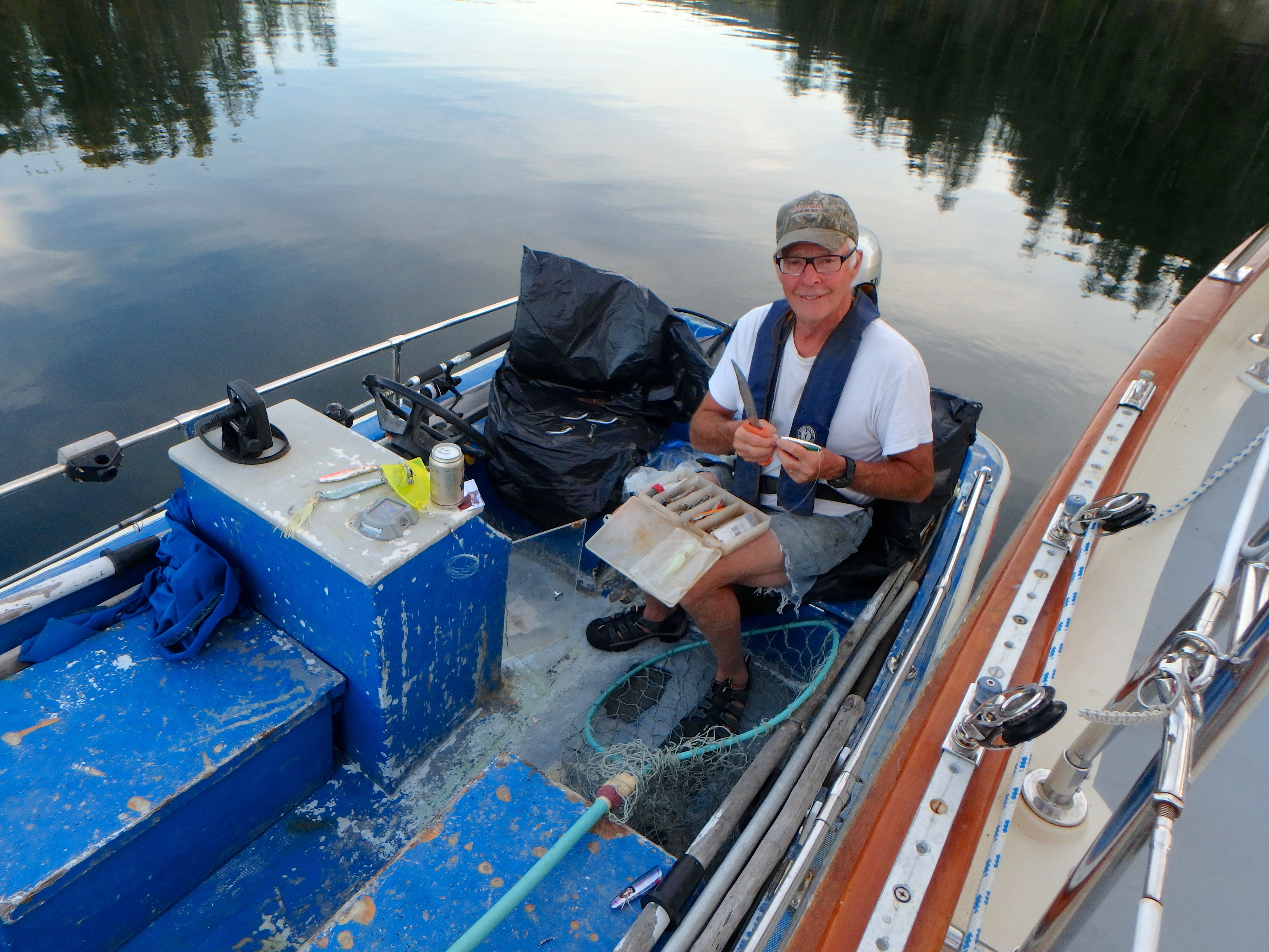
Last night as we finished dinner in the cockpit, really nice weather right now, we heard a small engine and saw a small vessel come around the island we are anchored off. The guy looked directly at us which in Ann’s vernacular is the same as a hearty “hello”. So we went up to the cabin top and he came over to chat. Our new Canadian friend, also named Bob, lives across the channel on one of the last pieces of property that is not part of the Marine Park.

Canadian Bob shown here building us a new lure. And it only cost a cold beer! Good trade.

And Canadian Bob knows fishing! Canadian fishing! For about an hour the two Bobs discussed all that stuff. Canadian Bob made us feel much better about the prawning (the professionals have been out hot and heavy and things are over prawned) and crabbing (there hasn’t been crabs around this sound for a few years). He also confirmed that the oysters were okay to harvest and where to best find them. We have seen warning signs all over indicating they should not be harvested.

But the magic of the evening was when Canadian Bob went to work fine-tuning Bob’s fishing set up. He opened up his own fishing tackle box and gave Bob a few lures as well as adjusted some of the ones we had. And for fair trade we gave him a cold beer. Mostly he gave us a renewed confidence….look out fish, we are coming after you!

Powell River

We’re been hanging here at Powell River getting our fill of internet, laundry, showers and multiple grocery/liquor stores before leaving tomorrow for Desolation Sound.  Hasn’t been too hard to stay since it’s rained on and off for the last three days.  Tomorrow is supposed to be pretty nice, so onward and northward we go.  By tomorrow night if all goes well we should be in Desolation Sound.  As the name suggests, we may well be out of touch again for a while.  Please bear with us.  We’ll post as soon as we have some sort of internets.

In the mean time, here’s a short pictograph of what we’ve been up to.

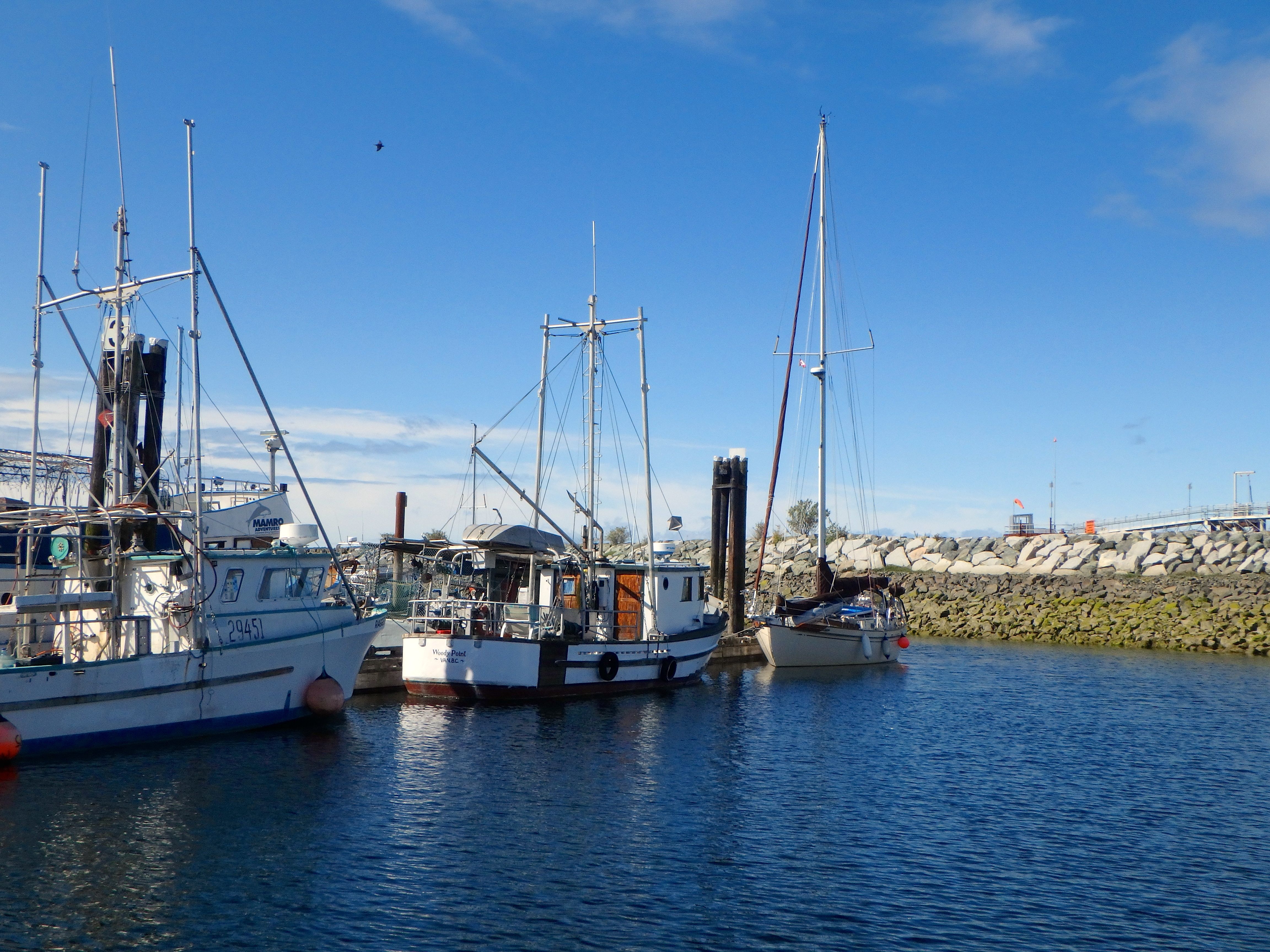
Tucked in behind the breakwater at Westview Harbor, Powell River. Lots of fishing boats this time of year, but the harbor is very accommodating and there are lots of stores within walking distance at which to provision.

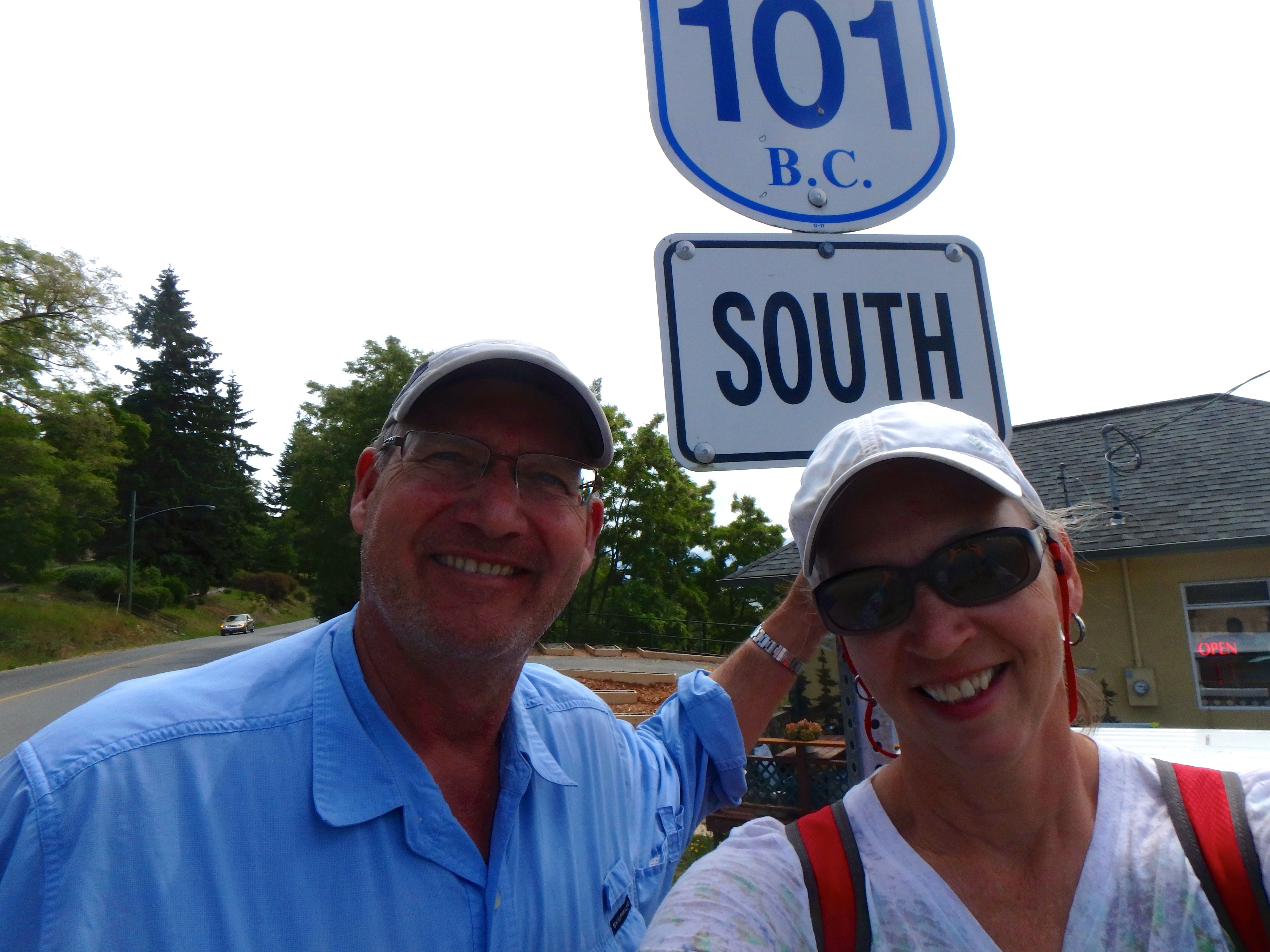
Powell River is almost the end of the 101. It stops just 10 miles or so north at Lund. From here, it goes all the way to Chile, South America. So...we decided we would walk a little bit of it up to old town, Powell River!

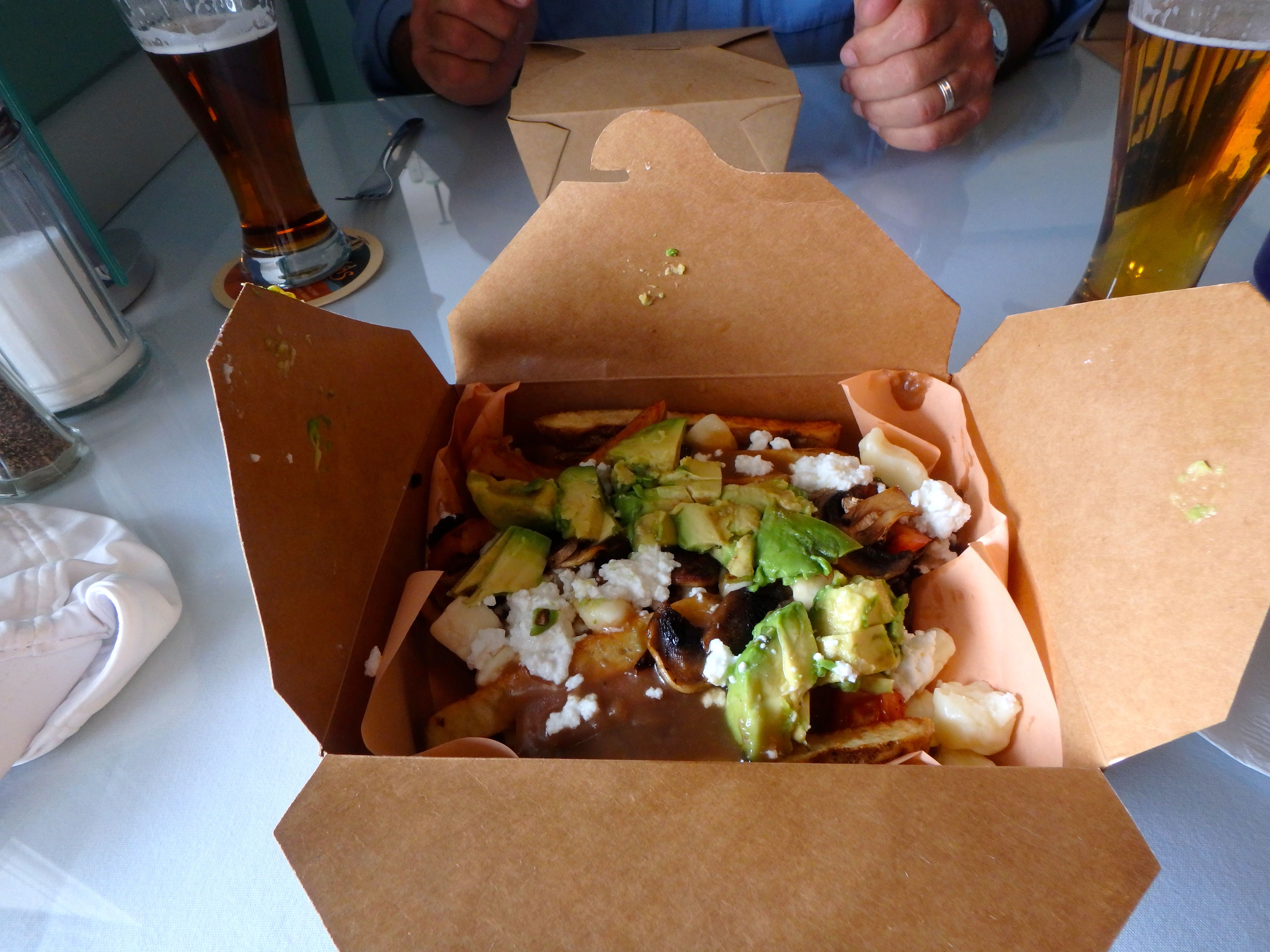
After the 4 mile hike, lunch. Poutine. Very French Canadian. French fries, "stuff" (in this case mushrooms and cheese) with gravy. Sounds, um, well...I dunno, but it's actually pretty good. But very filling!

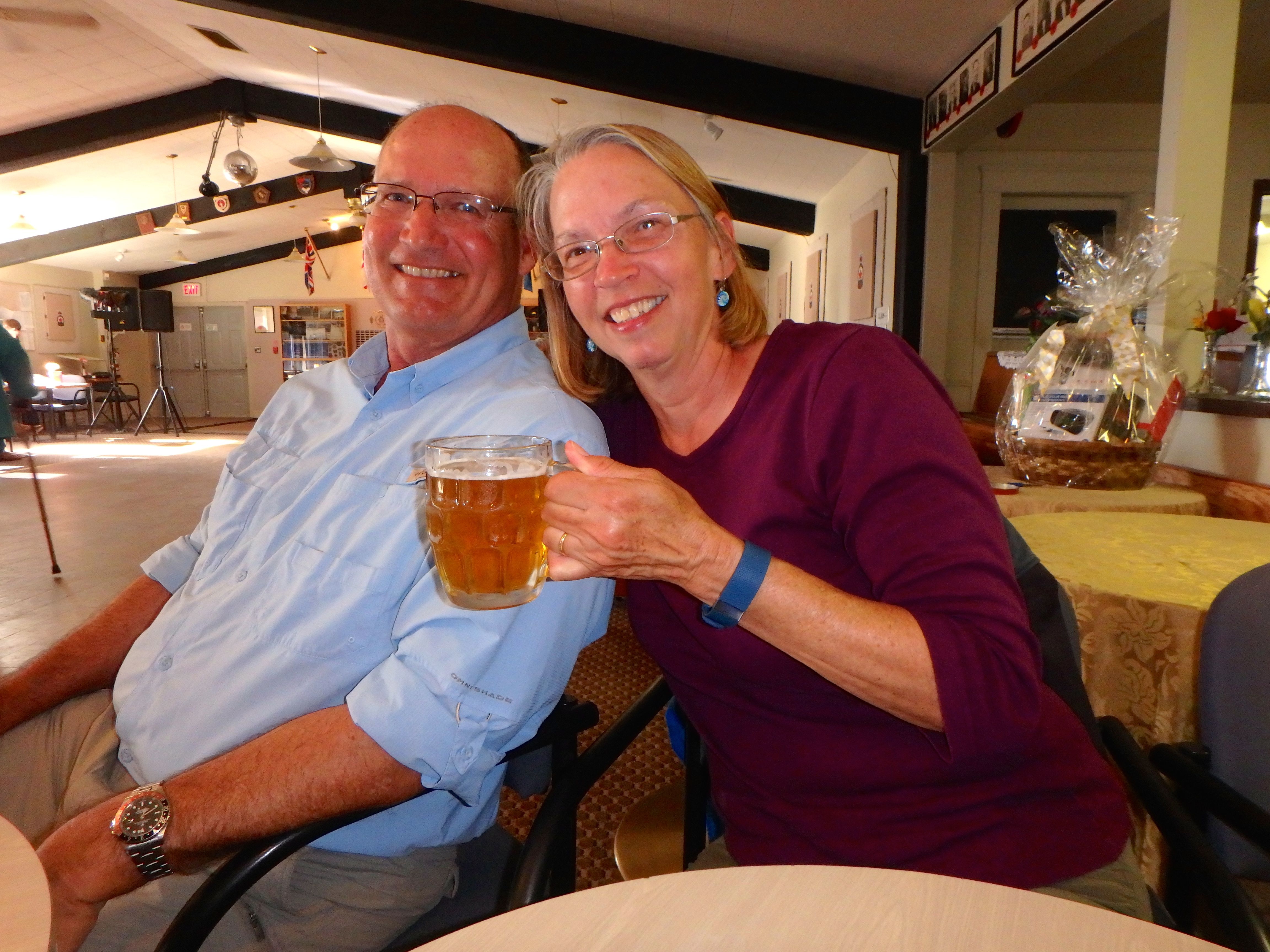
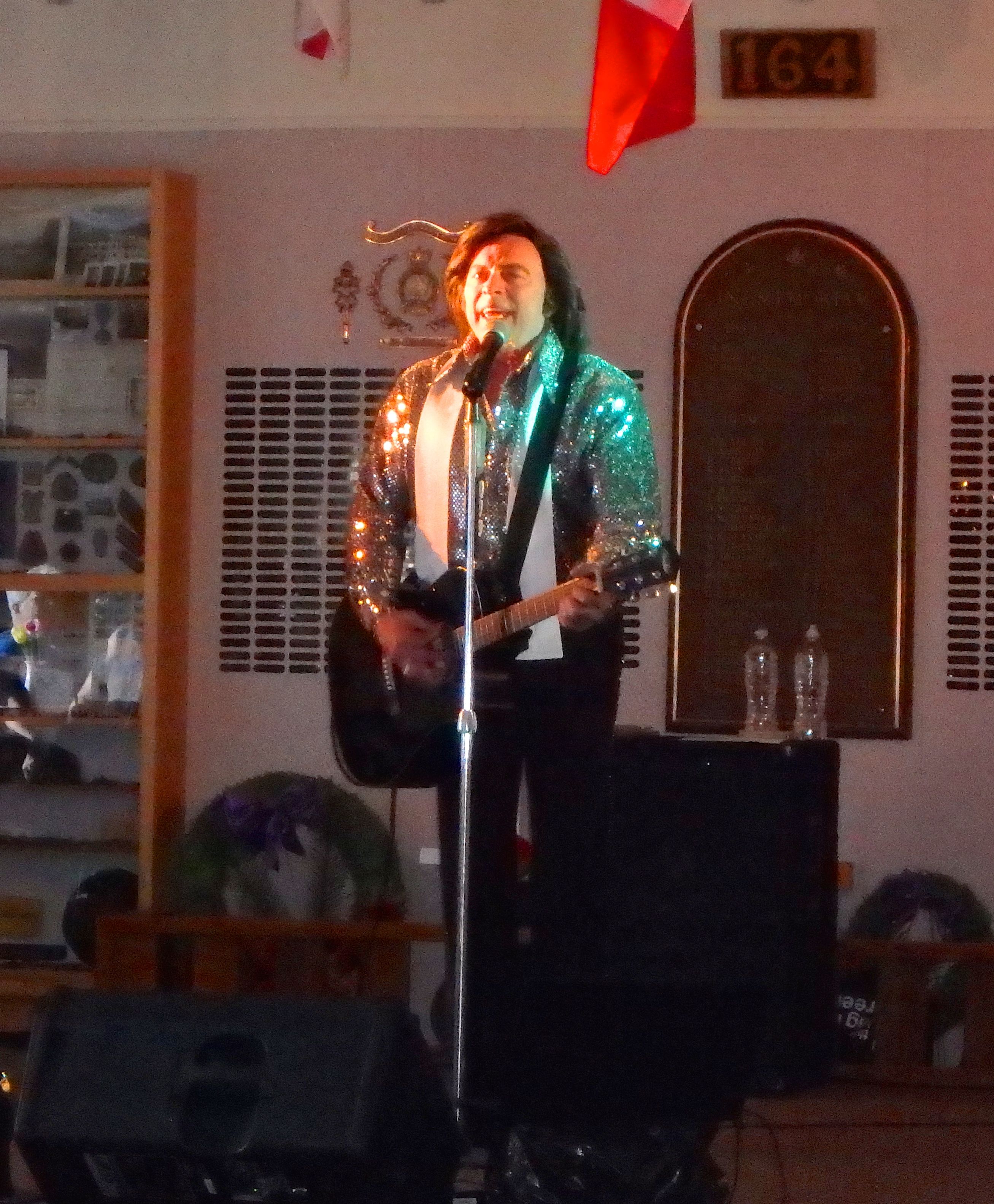
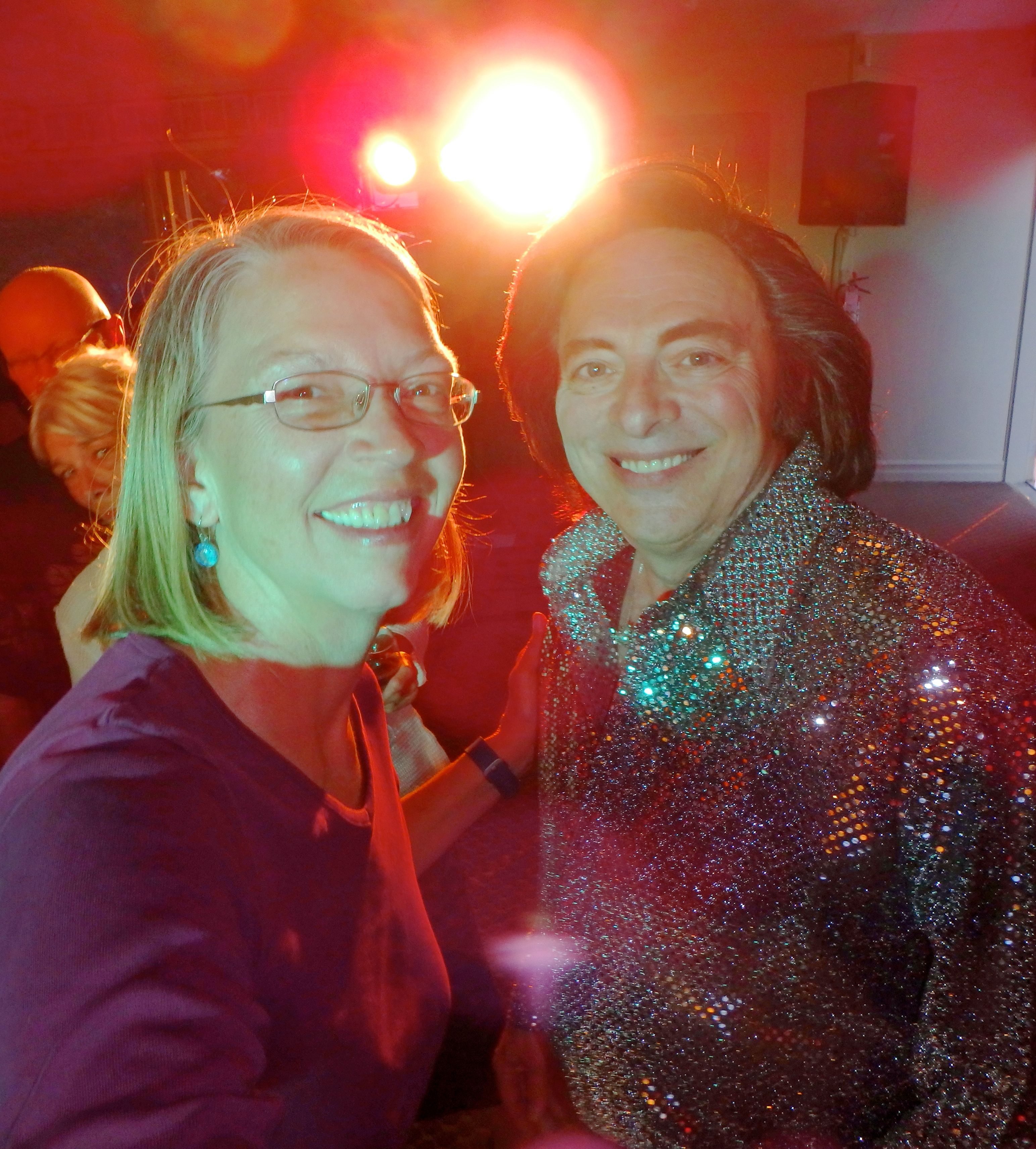
We went for an authentic evening at the Canadian Legion Hall to see Neil Diamond. OK, it was really "Nearly Neil", but he was really good and it was an authentic cultural experience (of the very good kind). And we went with our new cruising friends Beth and Bill from Hakoom.

Nearly Neil.

Ann the Groupie with Nearly Neil. This was actually a really good concert from a very talented musician.