At least most of it was fun, except for the harrowing parts!
We started the day wearing green and climbing up Conical Hill in Hanmer Springs before pushing on for the three hour drive to Kaikoura.
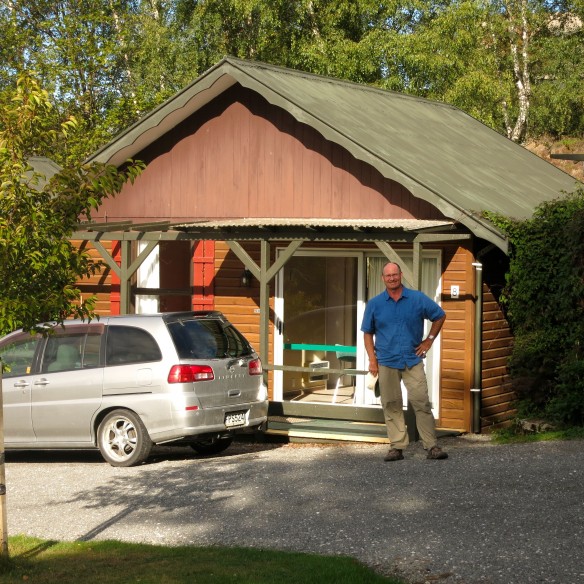
The trip from Geraldine to Hanmer Springs on Sunday was a rainy one that lead through beautiful gorges..at least we thought they were but the cloud cover was pretty low so we just enjoyed the bottom third of our view. Of course we could not leave the area without seeing more of it so when the day dawned with clearing clouds we packed up, prepared to leave Green Acres ( yep, we stayed there!) and hiked up Conical Hill.
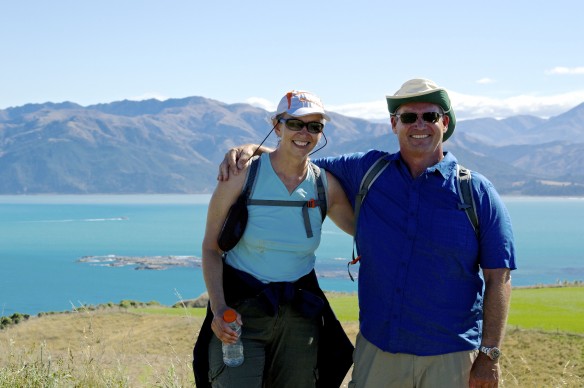
The reward was a 360 degree view of still more magnificent mountains surrounding a sleepy little valley. I am sure that when winter brings snow to this place it is packed, but today it was sleepy and sunny. Warm weather again! Yay!
We took the scenic route to Kaikoura even though it was longer and windy. We found the perfect lunch spot overlooking a deep gorge with sheep on the hills and a small stream running through it. Good thing we were so high up because I know Bob was itching to go fishing!
Obviously Conical Hill was not the harrowing hike. But two hikes in one day! Oh joy!
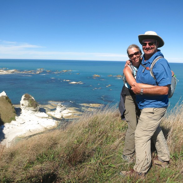
Kaikoura is a peninsula on the north east side of the island and our last stop on the South Island. Armed with vague directions for the “shorter” hike that followed the waterline, we headed out for hike number two…this one along the coast. It is a beautiful, rugged coast known for crayfish (lobster) and seal colonies. No need to fear crayfish but I will warn you about the seals. Being from the San Francisco Bay Area where seals abound at the wharfs, we were not drawn to the hike by visions of seal encounters. We just wanted a nice, scenic one hour hike.
Now comes the harrowing part of the day.
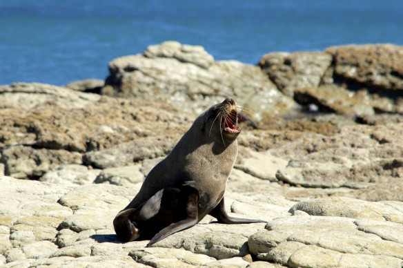
As we wandered further around the peninsula we were aware that the tide was coming in and cutting off a lowland return. We had been told that we would be able to find a path to the bluff so, on we went around the ocean route. High cliffs on one side, the ocean with incoming tide on the other. A couple of cute seals sunbathed as we cleared the first cove. How cute. But it was the bull seals warning us of trespassing violations with their throaty roar and menacing teeth that caught our attention. We hurried our pace to clear their lair only to find LOTS more seals. When we were startled by a bull seal lurking in the cliff shadow just a couple yards from our path we knew we needed to rethink our exit strategy.
Let’s just scamper up this cliff to safety! Well, not so easy. The cliff face was not as solid as it looked (hint: it NEVER is). Thoughts of using our emergency rope braid bracelets that Stephanie made us for Christmas began to take form. Bob figured if he could get up higher on the cliff he could unbraid the rope and use it to help me up. The bracelets are woven, extra strong nylon rope that can be pulled apart in extreme situations. Ever prepared we continued up the cliff face.
Luckily magic footholds sometimes appeared (luck of the Irish?) and we made it to the top of the cliff only to be buffeted by a knife edge ridge to traverse and building winds! Stay low, crawl forward and breathe. And we did. The view at the top, away from the edge…breath-taking! Phew!
Tomorrow…we have been invited out in a small “aluminium” dinghy of about 15 feet long to go crayfish pot collecting, weather permitting! If you don’t hear back from us call the Kiwi Coastguard!


OK guys. Back to basics. Maps. GPS phones. Even hand drawn directions. No more wandering and hoping. It’s not a good strategy for longevity. Resourcefulness is good. But terrain knowledge is better. Along with a backup plan. Just sayin’.